service
Drone services
Inspection/emergency services
Basic data is comprehensive, clear and free of dead ends
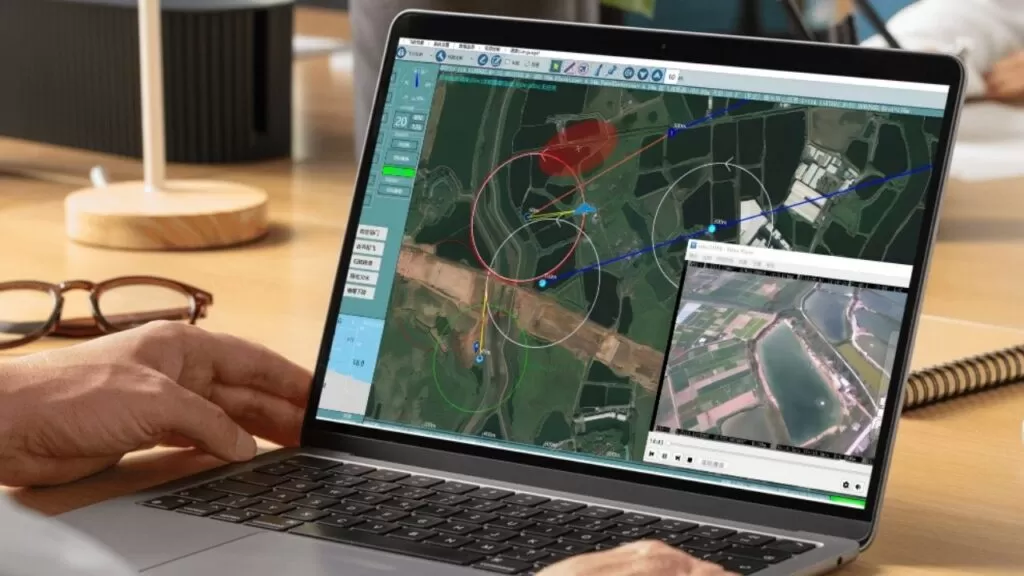
Utilizing the Uing UAV and Hunter data link, the Uing UAV provides new, reliable, timely, efficient and safe inspection and emergency services in complex scenarios (e.g., underground chambers, tunnels, mines, etc.) that are difficult to be met by the traditional communication architecture, as well as in the emergency response and rescue of public emergencies, such as natural disasters, accidents and calamities, and social security incidents.
Star roaming network
Features: Single BTS supports 64 nodes accessing at the same time/ BTS switching delay 160ms/ Support 300km/h mobile access.
MESH centerless network/chained network
Features: Ultra-long distance transmission/single cluster supports 32 nodes and 31 hops/multi-cluster supports wired cascade/31 hops supports more than 6Mbps transmission rate/operating power consumption of 6W/standby power consumption of 1W/supports network self-healing.


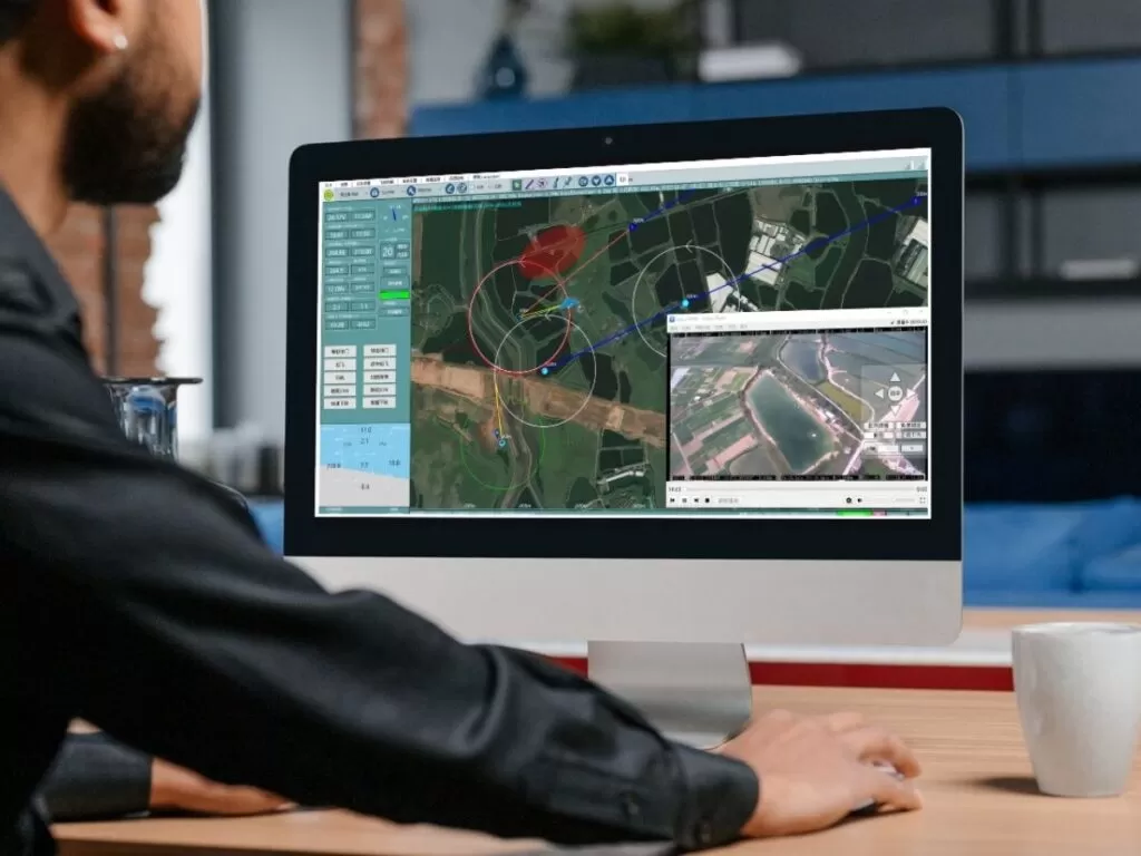
Emergency inspection display platform
High-definition long-distance real-time synchronized measurement and control
- Real-time backhaul and synchronized storage - Multi-terminal display and monitoring - Long-distance real-time measurement and control
-Timed Blind Disk Autonomous Descent - Customized Coordinates and Radius - Exclusive Electronic Fence Protection
- Chinese/English bilingual \route planning\one key dive/landing\status monitoring -AI automatic detection\recognition\locking and tracking of targets\autonomous operation -directed flight\key return\broken chain return\low voltage dive protection
Eagle - Emergency Inspection Display Platform
Eagle-YYPO Solver
- Dynamic differential positioning accuracy
Horizontal accuracy: ±(10mm+1×10^-6D)
Elevation accuracy: ±(10mm+1×10^-6D)
- Static differential positioning accuracy
Horizontal accuracy: ±(2.5mm+1×10^-6D)
Elevation accuracy: ±(5mm+1×10^-6D)
classic example

Forestry and Grassland Inspection \Forest Fire Patrol Project
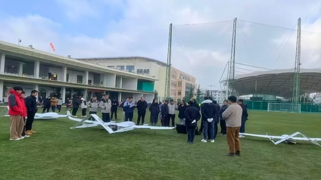
2024 Yunnan Forestry and Grassland Bureau Forestry and Grassland Inspection\Forest Fire Inspection Project

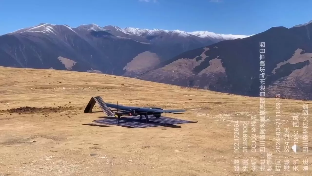
Forestry and Grassland Inspection \Forest Fire Patrol Project
2024 Sichuan, Forestry and Grassland Bureau of Forestry and Grassland Inspection \ Forest Fire Patrol Project

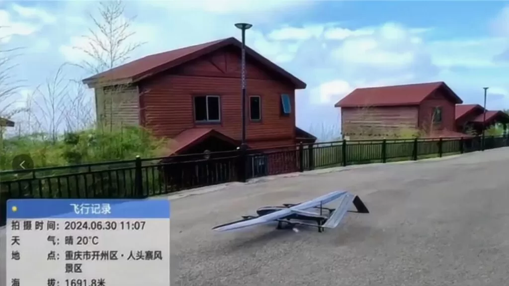
Forestry and Grassland Inspection \Forest Fire Patrol Project
2024 Chongqing Forestry and Grassland Bureau Forestry and Grassland Inspection\Forest Fire Inspection Project

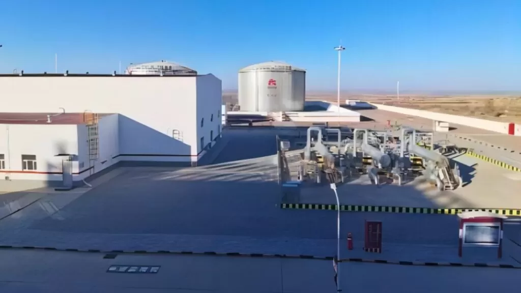
Oil pipeline inspection case
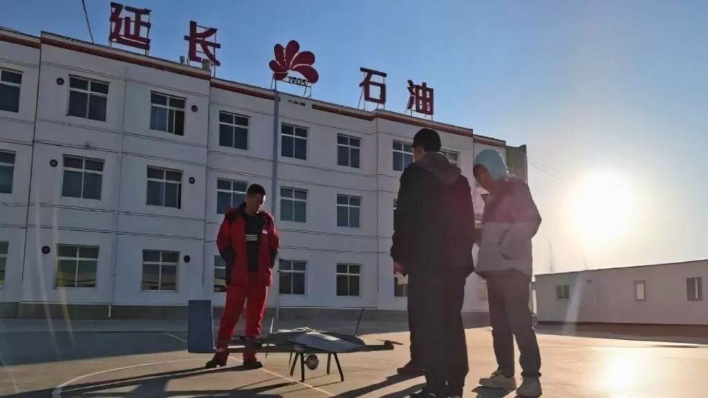
Shaanxi Yanchang Petroleum Pipeline Inspection Project

Oil pipeline inspection case
Daqing Oil Pipeline Inspection Program
Precision Measurement Robot Sweeping Service
Precision Measurement Data Platform
Efficient and cost-effective one-click access to accurate data
Eagle Precision Measurement Data Platform, through the Riemann Precision Measurement Robot, efficiently collects data and synchronizes it with this platform with one click, precipitating a huge digital space data asset, which can be collected once and reused many times. Efficient data browsing without the need to install specialized software saves a lot of time and effort; as an online management and display platform for fine measurement data, it can easily realize the functions of uploading and downloading data in advance, browsing and sharing online.


Application Scenario Solutions
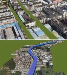
Realistic 3D modeling services
Drones with multi-sensor technology smart city solutions