UING services

01.

Tilt-shift Photography Services

Inclined photography service obtains high-resolution image data through low-altitude photography by UAV, and reconstruction software generates 3D point clouds and models to realize rapid access to geographic information. It provides services in the fields of land survey, rural cadastral mapping, river and lake management, real estate rights, engineering survey, building construction, agriculture and forestry, smart city, transportation planning, GIS information system and so on.

Tilt-shift Photography Services
aircraft

pan-tilt camera

flight

model

GIS platform

appliance

Precision Measurement Acquisition Service

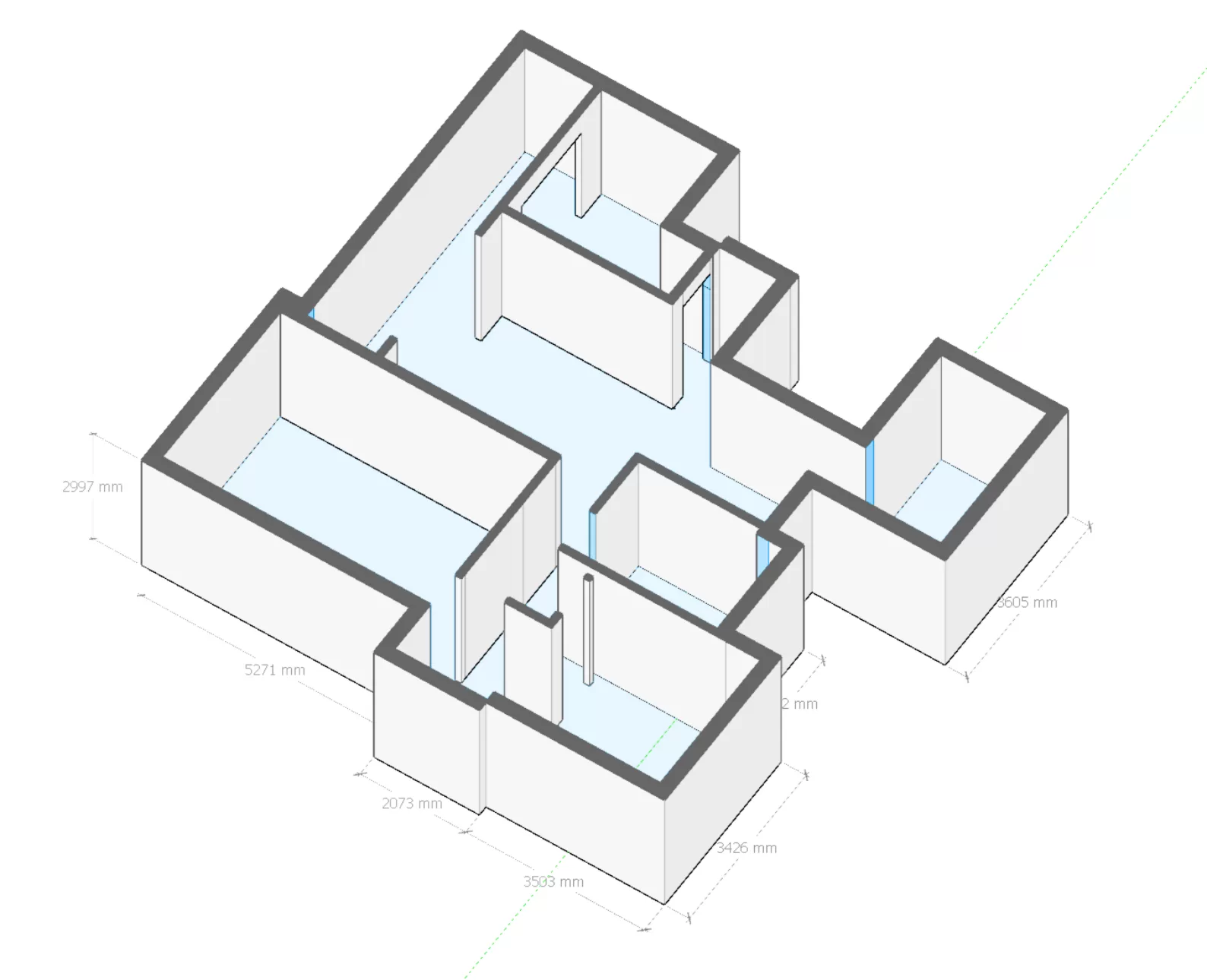
We provide measurement services for the construction, decoration, pan-family and renovation supply chain industries through millimeter-level full-space fine measurement data from the Riemann Robot fine measurement robot.

aging (metallurgy)
2.5min single space
no gap in coverage
360°x360°
highly accurate
mm precision
great talent
single-player, single-camera acquisition
fully automatic
AI algorithm
full element
Photo/CD

Precision acquisition

100% independent intellectual property rights, the use of leading measurement algorithm technology, multi-space automatic splicing, measurement efficiency increased several times.

data application

Through the DaaS management strategy, we aim to utilize data as a business asset to increase the agility of business innovation and allow the flow of fine-tuned data to be utilized for its proper value.

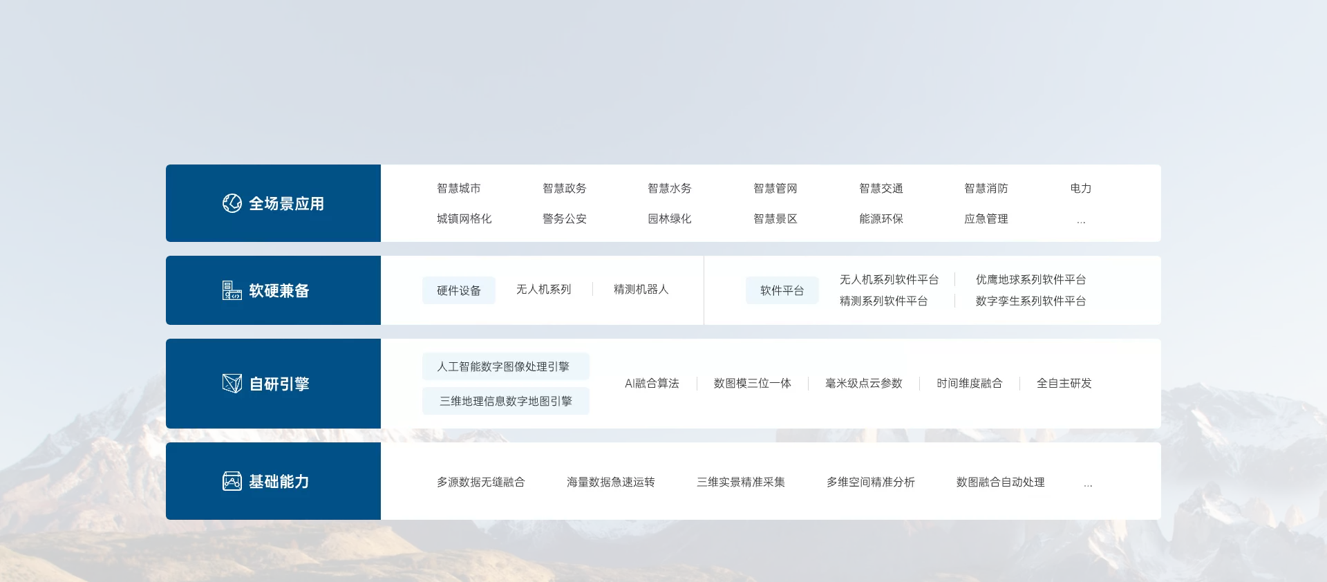
UING Overall Product System

UING integrates UAV tilt photography, LIDAR, SLAM, multispectral and other multi-sensors, as well as precision measurement robots to obtain accurate data, and provides solutions and services for 3D China and smart cities through forward design and reverse modeling of 3D space Automated processing of figures and images using digital twin technology.

Precision Measurement Data Platform

reduce costs 2.5 RMB / ㎡

Each machine can accurately measure and obtain 15 sets of real-time data per day. Single person, single machine operation with a minimalist workflow.

efficiencies 3 minutes/room

Real-time generation of CAD drawings and real-time generation of BIM models from the original 20 minutes/room to 3 minutes/room.

improve quality millimeter accuracy

Millimeter CAD drawings and can detect wall flatness, verticality, squareness, yin and yang corners, ceiling level, floor level, ceiling flatness, floor flatness, openings and depths and poles.