UING services

01.
Tilt-shift Photography Services
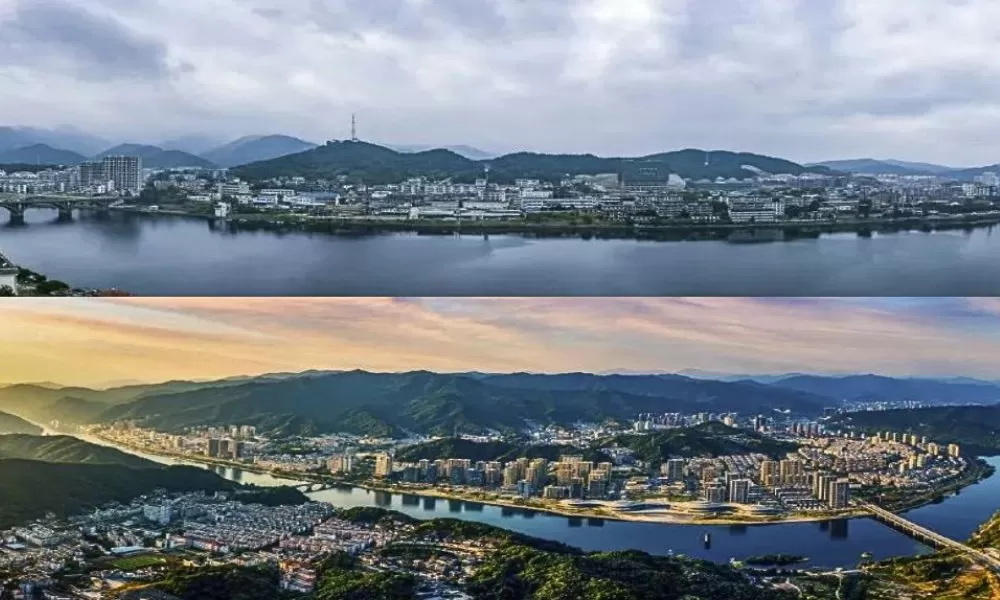
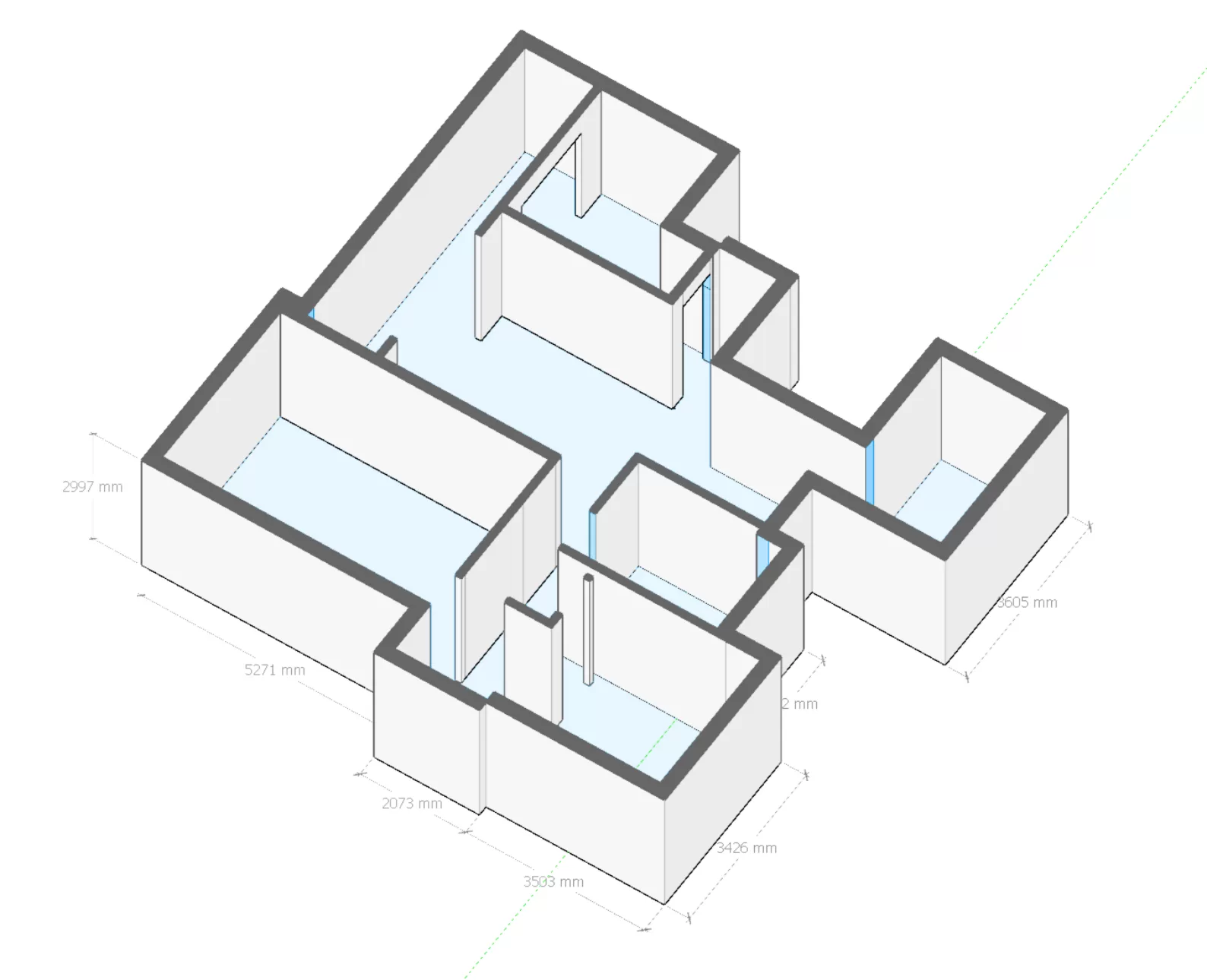
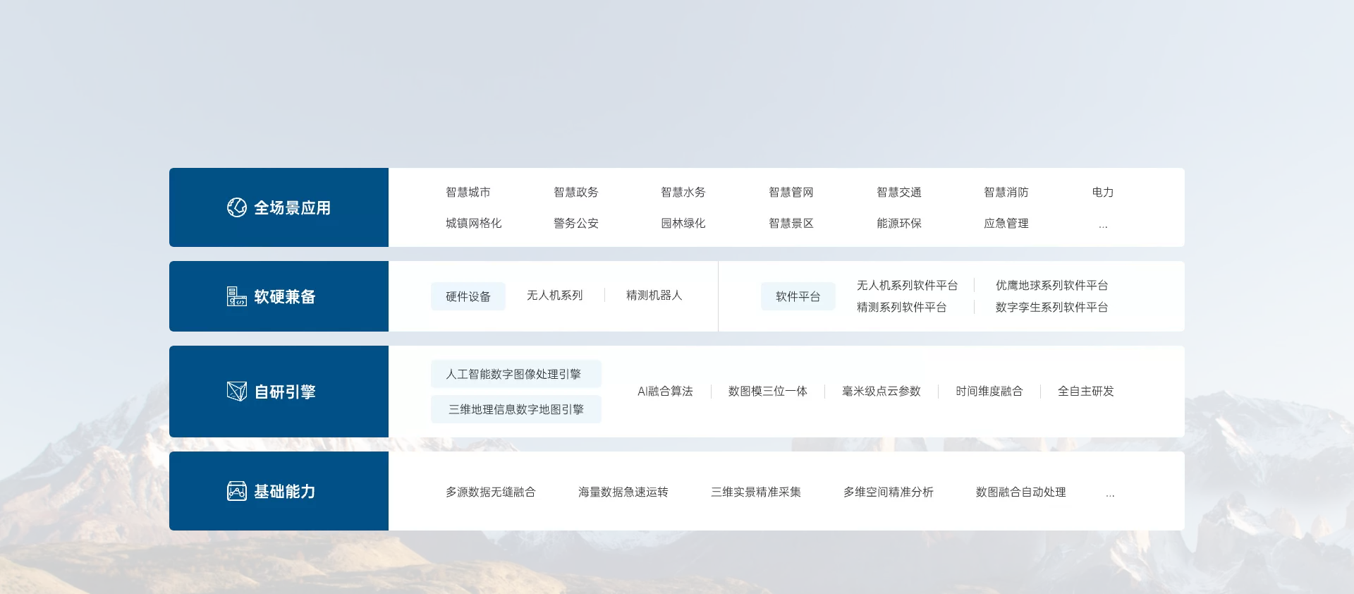
Inclined photography service obtains high-resolution image data through low-altitude photography by UAV, and reconstruction software generates 3D point clouds and models to realize rapid access to geographic information. It provides services in the fields of land survey, rural cadastral mapping, river and lake management, real estate rights, engineering survey, building construction, agriculture and forestry, smart city, transportation planning, GIS information system and so on.
Tilt-shift Photography Services

